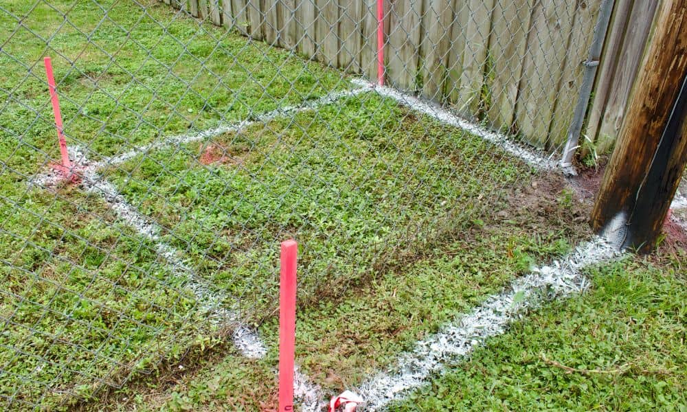
Many homeowners believe their fence marks the true property line. That assumption feels reasonable. The fence may have stood there for decades. Previous owners may have treated it as the boundary, and neighbors may have done the same.
Then a project begins.
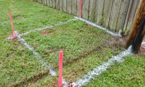
Someone replaces a fence, builds a garage, or installs a patio. Soon after, survey stakes appear in unexpected places. Suddenly, a simple home project turns into a stressful conversation between neighbors.
That is where a plat of survey becomes important.
A plat of survey identifies the legal boundaries of a property and shows where fences, driveways, structures, and easements sit in relation to those lines. In many cases, it reveals problems homeowners never knew existed.
In Pittsburgh, boundary confusion happens often because many neighborhoods contain older homes, narrow lots, hillsides, and outdated property records.
Why Fences Often Create Boundary Confusion
Many homeowners assume a fence marks the legal property line because it has existed for years. However, fences do not always follow recorded boundaries. A plat of survey helps confirm where the legal property line actually sits before construction or property disputes begin.
Most fences were not installed after a recent survey.
Years ago, property owners often relied on rough measurements, old markers, or verbal agreements between neighbors. Over time, those assumptions became accepted as fact.
Then ownership changes.
A new buyer checks records before closing. A contractor recommends a survey before construction. A homeowner wants to install a larger fence or retaining wall. That is usually when inconsistencies appear.
One neighbor may believe the fence belongs exactly where it sits. Meanwhile, survey records may show something completely different.
That disagreement can quickly turn personal, especially when money or construction becomes involved.
What Does a Plat of Survey Show?
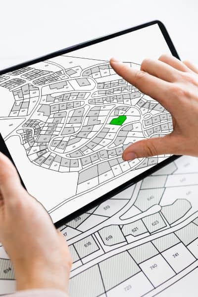
A plat of survey outlines the legal boundaries of a property and identifies structures, easements, encroachments, and lot dimensions. Homeowners often use this document before building, selling property, or resolving boundary concerns with neighbors.
Many homeowners think surveys only locate property corners. In reality, a plat of survey provides a much clearer picture of how the land is being used.
A plat of survey may identify:
- Property boundary lines
- Fence locations
- Driveways
- Garages and sheds
- Easements
- Encroachments
- Distances between structures and lot lines
For example, a survey may reveal:
- A fence crossing onto neighboring land
- A shed sitting outside setback requirements
- A driveway partially extending onto another parcel
- A retaining wall built beyond the legal boundary
Many people also rely on online parcel maps when checking property lines. However, those maps are not accurate enough for legal or construction decisions.
A professional survey provides measurements based on recorded documents and field verification.
Why Properties Create More Boundary Issues
Older neighborhoods often contain narrow lots, hillside terrain, retaining walls, and aging records that make property lines harder to identify. Because of that, homeowners frequently uncover boundary problems during construction or property sales.
Pittsburgh presents challenges that many newer suburbs do not face.
Some neighborhoods were developed generations ago. Over time, fences moved, lots changed, and improvements appeared without updated surveys.
In hillside areas, fences may follow the easiest construction path instead of the legal boundary. Retaining walls and landscaping can also create visual lines that homeowners mistake for property edges.
Allegheny County properties may include subdivision records dating back decades. As a result, physical improvements on the property do not always match the original documents.
Many homeowners discover these issues only after:
- preparing to sell a home
- replacing a fence
- building an addition
- resolving a neighbor disagreement
What Happens When a Fence Sits on the Wrong Side of the Line?
A misplaced fence can lead to disputes, delayed home sales, legal costs, and expensive corrections. A plat of survey helps homeowners identify these issues before they become larger property conflicts.
Boundary mistakes often seem small at first. However, they can become expensive quickly.
Imagine spending thousands on a new fence only to learn part of it sits on neighboring land. In other cases, buyers discover boundary problems during closing, forcing both parties into stressful negotiations.
Even worse, some disputes damage long-term relationships between neighbors.
Common problems include:
- Fence relocation expenses
- Delayed construction projects
- Permit complications
- Legal disagreements
- Problems during real estate transactions
- Removal of existing structures
Many of these situations could have been avoided with a survey before construction started.
When Should You Get a Plat of Survey?
Homeowners should consider a plat of survey before major outdoor projects, property sales, or boundary-related disagreements. Early verification helps reduce costly mistakes and construction delays.
A survey becomes especially useful before:
- Installing a fence
- Building a garage or addition
- Adding a retaining wall
- Installing a pool
- Purchasing property
- Selling a home
- Resolving a property line concern
Older properties benefit greatly from updated surveys because visible features may no longer match legal records.
Some Pennsylvania municipalities also require surveys before approving certain improvements near setback lines or easements.
What Land Surveyors Review During the Process
During a plat of survey, surveyors review legal records, physical markers, structures, and site conditions to verify property boundaries and identify potential conflicts.
The process involves much more than placing stakes in the ground.
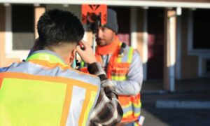
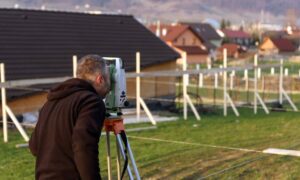
Surveyors begin by reviewing deeds, historical plats, and recorded documents. Then they inspect the property for existing monuments, fences, retaining walls, and visible improvements.
Next, they compare those findings with the legal description of the property.
In Pittsburgh, slopes and elevation changes often make this work more complicated. A property line that appears obvious visually may not align with the recorded boundary at all.
Surveyors also identify easements and encroachments that may affect future construction plans.
Why Waiting Too Long Can Create Bigger Problems
Many homeowners wait until tensions rise before ordering a survey.
Unfortunately, by that point, emotions usually drive the conversation.
People become attached to yards, landscaping, fences, and outdoor improvements. Once someone believes a section of land belongs to them, compromise becomes difficult.
That is why proactive surveying matters.
A plat of survey helps property owners make informed decisions before spending money on projects or entering disputes. It also helps buyers, builders, and real estate professionals avoid unexpected surprises later.