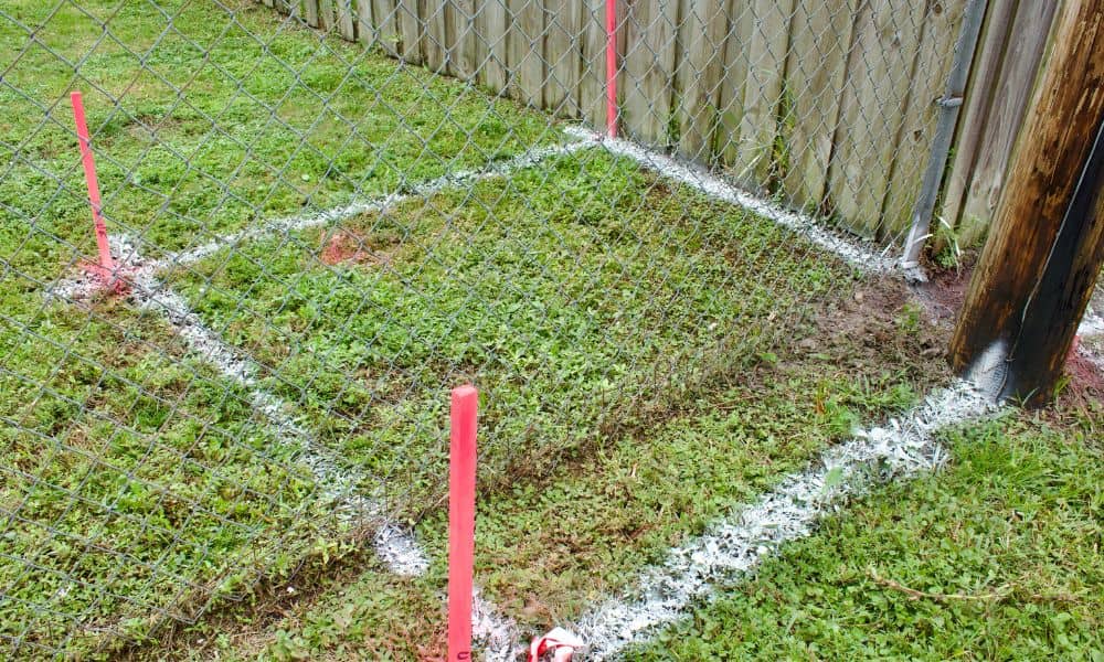
What Happens If a Survey Shows Your Neighbor’s Fence Is on Your Land?
If a survey confirms your neighbor’s fence sits on your property, you have legal rights as the landowner. You can ask your neighbor to move the fence, negotiate a boundary agreement, or take legal action if needed. The right first step is to stay calm, get your survey results in writing, and talk to your […]
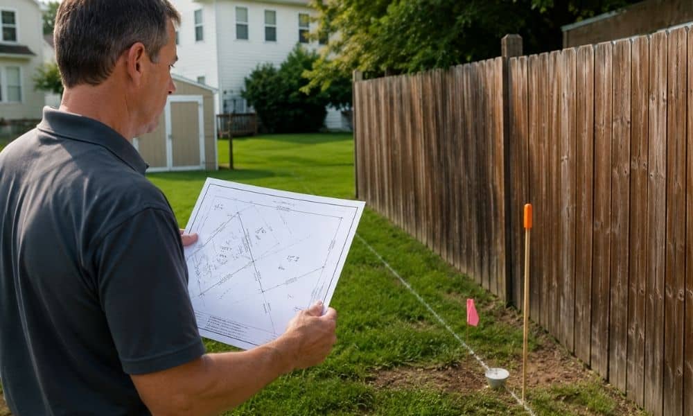
Why a Plat of Survey Matters
Many homeowners believe their fence marks the true property line. That assumption feels reasonable. The fence may have stood there for decades. Previous owners may have treated it as the boundary, and neighbors may have done the same. Then a project begins. Someone replaces a fence, builds a garage, or installs a patio. Soon after, […]
Can a Land Survey Expire? What Buyers Need to Know

A land survey does not legally expire. However, lenders, title companies, and buyers may reject it if it no longer reflects current property conditions. In most Philadelphia real estate transactions, surveys completed within the past 6 to 12 months are more likely to be accepted. Because of that, an older survey can delay closing or […]