Philadelphia is no stranger to heavy rain. When storms roll in from the coast, the city’s older streets and low-lying neighborhoods often flood fast. For homeowners, the damage can be costly and stressful. This is where an elevation survey comes in. More than just numbers on paper, it gives you a clear picture of how your property stands against rising water. After the most recent Mid-Atlantic storm that dropped several inches of rain, many residents are realizing just how valuable this survey can be.
Why Still Floods After “Moderate” Storms
You don’t need a hurricane for water to cause trouble. A coastal low or days of steady rain can be enough. Streets like Main in Manayunk or blocks in Eastwick can flood even when forecasts call the storm “moderate.” Why?
- The Schuylkill and Delaware Rivers respond quickly to runoff.
- Drainage systems are old and can back up during downpours.
- Narrow alleys and sloped driveways often trap water.
When these things combine, homes that seemed safe can suddenly face water at the basement door. That’s why knowing the exact elevation of your property compared to flood levels is so important.
What an Elevation Survey Tells You
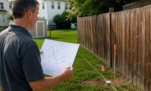
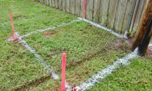
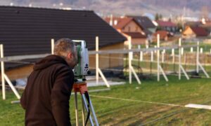
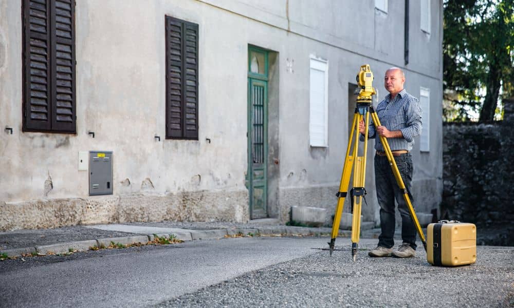
An elevation survey measures the height of your home and land in relation to official flood benchmarks. Licensed surveyors use precise equipment to map out:
- The lowest floor of your house
- The ground around your foundation
- Driveways, walkways, and stairwells that may sit below grade
- Mechanical equipment like HVAC units or panels near the ground
These measurements matter because they show where water is likely to go first. For example, if your basement floor is below the base flood elevation set by FEMA, you’ll know your home is at real risk. If it’s above, you may avoid costly damage.
The Post-Storm Reality Check
After a heavy storm, many homeowners notice signs they’ve ignored before. Water pooling in an alley, seepage in a basement corner, or a sump pump working overtime all point to drainage issues. An elevation survey puts numbers behind those observations.
Think of it as a reality check. Instead of guessing whether your property is vulnerable, you’ll have measured elevations that tell the story. These details also give contractors a solid base for floodproofing work, from adding drains to re-grading a yard.
Why Timing Matters
Doing an elevation survey soon after a storm has real advantages. For one, you can show the surveyor fresh waterlines, debris marks, or areas where water collected. These clues make the measurements even more accurate. Photos you take during or right after the storm can also be shared. They add context to the survey and help create a fuller picture of how your property responds to rain.
More Than Insurance
A lot of people connect elevation surveys only with insurance or FEMA forms. But the benefits go beyond paperwork. In Philadelphia, where rowhomes, corner lots, and historic buildings sit side by side, small grade changes can mean big differences in flood risk. An elevation survey is just one part of the bigger picture—many homeowners also rely on a land survey to understand property boundaries, site conditions, and how their lot fits into the surrounding landscape.
Here’s how a recent elevation survey can protect you:
- Guides smart fixes. Contractors can design drains, swales, or raised pads with precise elevation data.
- Supports future upgrades. If you add a basement or remodel, the survey ensures changes don’t create new low points.
- Builds peace of mind. Knowing your numbers lets you plan without fear of hidden risks.
The 48-Hour Playbook for Homeowners
Waiting for a surveyor? There are steps you can take in the meantime. Right after a storm, walk around and note where water is collected. Snap photos of:
- Curb inlets near your home
- Driveways that slope toward the house
- Rear alleys with standing water
- Low basement doors or stairwells
These records don’t replace an elevation survey, but they give your surveyor a head start. Combined with professional measurements, they help build a clear picture of your property’s weak spots.
Real-World Scenarios in Philadelphia
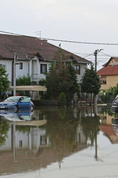
Eastwick slab-on-grade homes. Elevation surveys often reveal floors sitting only inches above high water marks. That data can guide flood vent installations.
Manayunk rowhomes. Narrow alleys behind houses create channels for water. Surveys pinpoint exactly how those grades compare to the river’s flood stage.
South Philly corner lots. Driveway aprons at crosswalks may slope the wrong way, pulling water toward basements. A survey shows how much re-grading is needed.
Each case shows how measurements translate into action. Without them, fixes are just guesses.
Why Every Inch Counts
Flooding often comes down to inches. A single stair step or a slightly raised HVAC pad can be the difference between staying dry and facing thousands in damage. Elevation surveys capture those inches. They don’t just look at the property as a whole—they break it down to the critical points where water meets structure.
How to Get Started
If you live in a flood-prone area, don’t wait until the next storm. Schedule an elevation survey with a licensed surveyor. Bring any photos you’ve taken and, if available, past elevation certificates for comparison. With that data in hand, you’ll know exactly where your risks lie and how to protect your home.
Conclusion
Storms will keep coming, and rivers and drainage systems will keep testing our neighborhoods. The smartest move a homeowner can make is to understand their property’s elevation. An elevation survey delivers that clarity. It turns storm anxiety into a plan, guiding both short-term fixes and long-term protection.
Flooding doesn’t have to be a mystery. With an elevation survey, you’ll understand how your property handles water and what changes can make it safer for the next storm.