Pittsburgh is changing fast. Old neighborhoods are seeing new homes, vacant lots are being reused, and long-quiet parcels are suddenly worth attention again. Because of this growth, property line disputes are rising across the city. Many owners feel blindsided. Nothing changed on their land, yet questions appeared out of nowhere. In most cases, the trigger is simple: land is being reviewed more closely than before. When that happens, opinions and assumptions lose weight. Clear proof matters. That is where a boundary survey becomes the deciding evidence.
Growth Brings Opportunity—and Pressure
Over the last few years, Pittsburgh has seen steady redevelopment. Infill projects, small multi-family builds, and lot splits have become common. As a result, land that once sat untouched now sits under review. Buyers, lenders, and planners all look closer at property details before moving forward.
However, many properties were never checked with this level of care. Lines were assumed based on fences, driveways, or long-standing habits. Those assumptions worked when nothing changed. Now, they do not.
Because growth increases scrutiny, it also exposes weak spots. Property boundaries are often one of them.
Why Vacant and Underused Lots Cause the Most Conflict
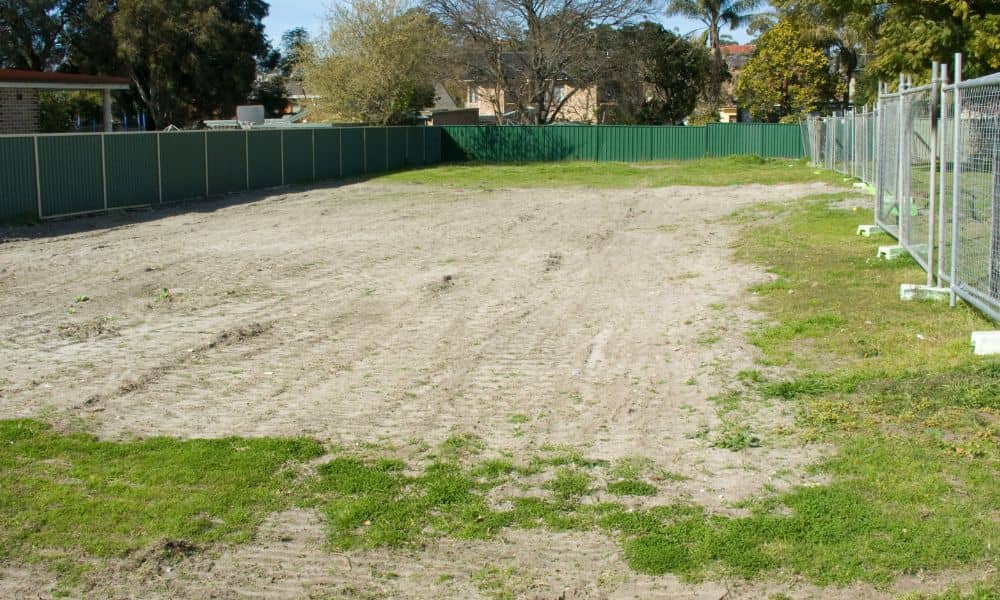
Empty land feels simple. There is no house to measure around and no fence to question. Yet vacant lots often create the biggest disputes.
Many of these parcels have not been reviewed for decades. Some were split or combined long ago using older descriptions. Others sit next to properties that expanded without formal checks. When interest returns to these lots, the first real question appears: Where does the property actually end?
At that point, neighbors may disagree. Records may conflict. Delays follow. What seemed like an easy project suddenly stalls.
Redevelopment Changes the Rules
Before redevelopment, informal agreements often worked. A neighbor mowed a strip of grass. Another parked near a shared edge. No one complained.
Once money enters the picture, everything changes.
During sales, financing, or permitting, third parties review land details with care. They need clarity. They need confidence. Informal understandings no longer count.
As a result, disputes that stayed quiet for years rise to the surface. The issue is not new. The attention is.
When Opinions Stop Working
Many property owners try to resolve boundary questions with conversations or old sketches. While that feels reasonable, it rarely works once a dispute grows.
One person may trust a fence line. Another may rely on a memory. Someone else may point to a tax map. Each view feels valid, yet none can settle the matter.
At this stage, disputes move beyond neighbor issues. They affect sales, loans, and construction schedules. That is when proof becomes necessary.
Why a Boundary Survey Becomes the Deciding Evidence

A boundary survey provides clear, professional evidence when property lines are questioned. It does not rely on assumptions or visual clues. Instead, it establishes where ownership legally begins and ends.
Because of that, boundary surveys carry weight. Lenders rely on them. Attorneys reference them. Title companies accept them. When land disputes stall progress, this documentation often breaks the deadlock.
In short, a boundary survey turns uncertainty into clarity.
Common Pittsburgh Situations That Trigger Disputes
Across the city, similar patterns appear again and again.
For example, a homeowner prepares to sell and learns that part of a driveway crosses onto a neighbor’s lot. Elsewhere, a vacant parcel gets assembled with others for redevelopment, only to reveal overlaps between deeds. In other cases, long-standing access paths get questioned once plans change.
None of these owners expected a dispute. Still, each faced one because land details came under review.
These moments feel sudden, but they follow the same path. Growth invites scrutiny. Scrutiny exposes gaps. Gaps demand proof.
Waiting Makes Everything Harder
Many owners delay action because they hope issues will resolve themselves. Unfortunately, waiting often raises the cost.
Once contracts are signed or crews are scheduled, time pressure builds. Each delay affects more people. Options shrink. Stress rises.
By contrast, addressing boundary questions early keeps control in the owner’s hands. It allows choices instead of reactions.
Protection During Change
A boundary survey does more than settle arguments. It protects owners during periods of change.
For homeowners, it prevents last-minute surprises during a sale. For investors, it supports clean transactions. For developers, it reduces risk before design and approvals move forward. For long-term owners, it confirms rights when neighbors or planners ask questions.
In all cases, clarity brings confidence.
Why These Issues Feel New
Many owners ask why boundary disputes seem more common now. The answer lies in pace and visibility.
Projects move faster. Reviews dig deeper. Data circulates widely. As a result, land details face more attention than in the past.
Boundaries did not suddenly change. Expectations did.
The Bigger Picture
Pittsburgh’s growth brings real opportunity. Still, growth also tests assumptions that once went unchallenged. Property lines sit at the center of that test.
A boundary survey provides answers when land questions rise. It replaces guesswork with evidence and prevents uncertainty from becoming conflict.
As redevelopment continues, clarity matters more than ever. When land suddenly matters, having defensible boundaries makes all the difference.