
Understanding the Challenge of Uneven Land
Not all land is ready to build on—especially in Pennsylvania, where hilly terrain, oddly shaped lots, and drainage concerns are common. Whether you’re developing in the rolling hills of Pittsburgh or working with tight urban lots in Philadelphia, a professional land surveyor plays a key role in evaluating site conditions before construction begins.
These surveys help property owners understand the real shape of the land—what can be built, where it should go, and what needs to be avoided.
Measuring Slope and Elevation
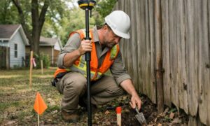
One of the first things a land surveyor in Pittsburgh, PA or Philadelphia, PA will do is measure the slope of the property.Using advanced equipment, surveyors record elevation changes across the site. This elevation and drainage survey for new construction helps engineers and builders:
- Plan safe foundations
- Design effective drainage systems
- Avoid areas too steep or unstable for building
On steeper lots, these measurements are essential to avoid future structural problems.
Understanding Drainage and Runoff Paths
Water behaves differently on sloped land. It runs faster, collects in low spots, and can cause erosion if not controlled. A land surveyor maps out these natural drainage patterns, helping developers and homeowners:
- Avoid building in runoff-prone zones
- Plan proper grading and stormwater management
- Meet local environmental and erosion-control rules
In places like Philadelphia, where stormwater management is a top concern, this step is especially important.
Defining the Buildable Area
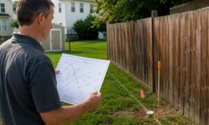
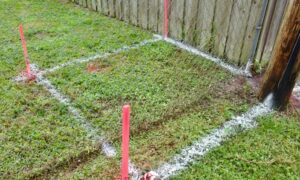
Irregularly shaped lots—common in older neighborhoods and hillside areas—can make it hard to know where building is even allowed. A licensed land surveyor helps define legal boundaries, setbacks, and usable space so your project starts on solid ground.
- Legal property boundaries
- Zoning setback lines
- The flat or stable portions of the site
This ensures builders stay within the law and make the most of the space available—critical in dense areas like Philadelphia and sloped suburbs around Pittsburgh.
Checking for Risks Below the Surface
On steeper or rocky lots, surveyors may also flag risks like:
- Loose soil or unstable ground
- Rock formations that could affect digging
- Natural features that may require extra support or retention
In these cases, surveyors may work with geotechnical engineers to provide a complete view of what’s below the surface before construction begins.
Helping with Permits and Site Planning
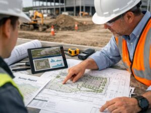
In both Pittsburgh and Philadelphia, site plans often need to be submitted to local offices for approval. These documents must include accurate slope, elevation, and drainage data. A land surveyor provides certified measurements that help:
- Speed up the permit process
- Support zoning and building code compliance
- Prevent costly redesigns later in the project
Build Smarter on Difficult Lots
When dealing with sloped or irregular land, it’s important to start with accurate data—not assumptions. A licensed land surveyor in Pennsylvania can assess your property’s elevation, drainage, and legal boundaries before construction begins. Whether you’re planning a new build or simply confirming lot lines, services like a property line survey or an elevation and drainage survey for new construction provide the clarity needed to move forward with confidence and avoid costly setbacks.
Frequently Asked Questions
1. Can you build on a steep lot in Pennsylvania?
Yes, but it requires careful planning. A land surveyor evaluates slope and drainage to help guide safe construction.
2. What tools does a land surveyor use to measure elevation?
They use GPS equipment, total stations, and laser scanners to collect accurate elevation data.
3. Is a land survey required for building permits?
Often yes, especially in cities like Philadelphia and Pittsburgh where zoning and elevation play a major role in approvals.
4. Can a surveyor help prevent drainage issues?
Absolutely. Mapping natural water flow is a key part of the surveyor’s job on sloped lots.
5. How do irregular lot shapes affect construction?
They can limit the buildable area. A land surveyor helps identify where building is legally and practically possible.