Why Land Use Updates Are Increasing Lot Survey Requests
If you own property, boundary questions may feel more common than they used to. Many owners are surprised when old assumptions suddenly come into question. In most cases, this confusion starts with the city’s new land use surveys. While these surveys help Philadelphia plan for growth, they also expose property details that were never closely […]
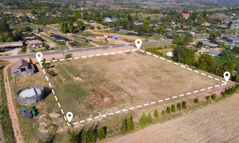
Why Land Disputes Rise and How a Boundary Survey Decides
Pittsburgh is changing fast. Old neighborhoods are seeing new homes, vacant lots are being reused, and long-quiet parcels are suddenly worth attention again. Because of this growth, property line disputes are rising across the city. Many owners feel blindsided. Nothing changed on their land, yet questions appeared out of nowhere. In most cases, the trigger […]
Flood Insurance Shifts Highlight FEMA Elevation Certificates

Flood insurance is changing in Philadelphia, and FEMA elevation certificates are now getting more attention than ever. Many property owners are surprised to learn that even without a recent flood, insurance companies are asking new questions. Because of this shift, documents that once stayed in a drawer now play a bigger role in insurance reviews, […]