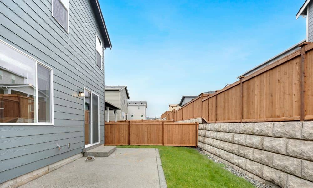
Topographic Survey: Check Hillside Landslide Risk

Pittsburgh sits on steep hills and narrow valleys. Many homes perch above rivers or along hillside streets. The views can look amazing. However, building on sloped land takes careful planning. Soil can move. Slopes can shift. In some areas, landslides can happen after heavy rain or ground changes. Because of this, many property owners start […]
How an ALTA Land Survey Helps Resolve Property Disputes
Property disputes rarely start as major legal battles. Most begin with something small. For example, a neighbor builds a fence. Someone installs a driveway. A shed appears near the edge of a lot. At first, everything seemed fine. However, problems can grow when one owner starts to question where the property line really sits. In […]
How Drone Surveying Is Transforming Slope Stability Mapping
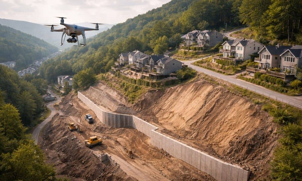
Western Pennsylvania is beautiful, but it is not flat. From the hills of Pittsburgh to the rolling valleys outside the city, steep slopes shape how we live and build. Homes sit on hillsides. Roads cut through embankments. Stormwater rushes downhill during heavy rain. Because of this terrain, slope stability is not just an engineering term […]