
How Urban Planning Is Changing the Topographic Survey

Philadelphia is rethinking how it plans, reviews, and approves projects. City teams want fewer surprises, better coordination, and clearer site data before designs move forward. As a result, the topographic survey now plays a bigger role much earlier in the process. For property owners and project teams, that shift changes how projects start, how fast […]
How LiDAR Mapping Is Changing Accessibility Navigation
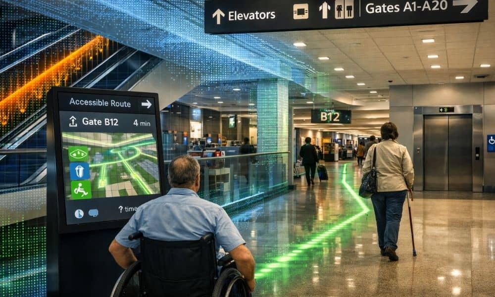
Airports can be confusing places. Long hallways, different floors, moving gates, and crowds make it hard to find your way. For people with mobility or vision challenges, this can be even more stressful. Because of this, airports are starting to use better tools to help travelers move safely and confidently. In Pennsylvania, Lehigh Valley International […]
Why Land Use Updates Are Increasing Lot Survey Requests
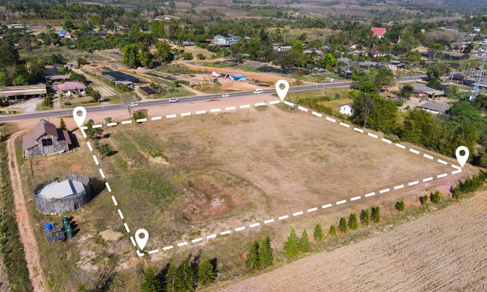
If you own property, boundary questions may feel more common than they used to. Many owners are surprised when old assumptions suddenly come into question. In most cases, this confusion starts with the city’s new land use surveys. While these surveys help Philadelphia plan for growth, they also expose property details that were never closely […]