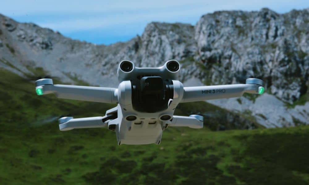
Drone surveying has changed the way we map land. It’s fast, efficient, and gives a bird’s-eye view of everything from construction sites to farmland. In cities like Pittsburgh, where hills, rivers, and neighborhoods create tricky terrain, drones help surveyors capture accurate data without setting foot on the ground.
But while drone surveying is great at what it does above the surface, it has one big blind spot: what’s underground.
And in Pittsburgh, that’s a serious problem.
The Ground Beneath Our Feet Has a Story
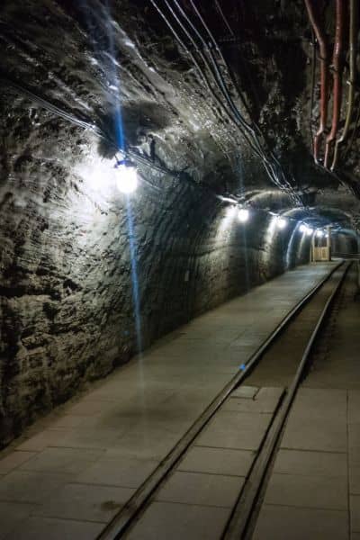
Pittsburgh has a deep history—literally. For over a hundred years, this region was a hub for coal mining. Workers carved out huge tunnels and shafts beneath the city, digging for fuel that powered steel mills and trains. Then, one day, they stopped. The mines were abandoned, and many were forgotten.
But those tunnels didn’t just disappear. They’re still down there, empty and fragile. Over time, the roofs of these underground voids can collapse, causing the ground above to sink. This is called mine subsidence, and it can destroy homes, crack roads, and cause major problems—without warning.
The Problem with Drone Surveying

Drone surveying helps professionals see everything above ground. It creates detailed maps, 3D models, and high-resolution images. Engineers love it. Real estate developers love it. Even homeowners getting boundary surveys or new additions done love it.
But here’s the catch: drones can’t see what’s below the surface.
That means if you’re surveying land using only drones, you could miss signs of dangerous underground voids. You might think everything is fine, build a home or office, and then deal with the nightmare of the ground sinking months or years later.
A Real Issue in Western Pennsylvania
This isn’t just a “maybe” problem—it’s real. In fact, thousands of homes in Pennsylvania have been affected by mine subsidence. And many of those homeowners didn’t even know they were sitting on top of old mines.
In the last few days, something important happened: the Pennsylvania Department of Environmental Protection (PA DEP) announced new progress in digitizing abandoned mine maps, especially those in the Pittsburgh region. This includes maps from the Consol Energy Collection, which cover a huge part of Western Pennsylvania.
Why does that matter?
Because these digital mine maps make it easier for surveyors and engineers to check whether land is sitting over a hidden danger. And they’re being updated and made more accessible right now.
The Role of the National Mine Map Repository
Right here in Pittsburgh is a little-known but powerful resource: the National Mine Map Repository (NMMR). It holds over 182,000 maps of abandoned coal mines from across the U.S.
That’s not just history—it’s a lifesaving tool for anyone building, buying, or surveying land in this area.
These maps show where underground voids are located, and when paired with modern technology, they help surveyors avoid serious mistakes. But here’s the kicker: most drone surveys don’t include this data unless you ask for it.

How This Affects Homeowners and Developers
Imagine you’re buying a property, or building a new home in the suburbs. You order a survey. The drone flies over, everything looks great. You close the deal.
A few months later, your yard starts to dip. Cracks appear in the foundation. You find out your house sits above an abandoned mine—and your survey didn’t catch it.
That’s the reality some homeowners have faced.
The problem isn’t with drone surveying itself—it’s with relying on it alone.
So, What Should Be Done?
Here’s the good news: you don’t have to give up on drone surveying. It’s still one of the best tools for mapping and measuring land. But in cities like Pittsburgh, you need to go a step further.
Surveyors and developers should always:
- Check digital mine maps through the NMMR and PA DEP.
- Overlay drone data with subsurface mine data.
- Use ground-based tools (like ground-penetrating radar or geotechnical borings) when needed.
- Educate clients about mine risks and insurance options, like mine subsidence insurance.
Combining aerial and underground data gives you a full picture—not just the top layer. That’s why working with experts who know how to get accurate drone surveys that consider both surface details and what lies beneath is so important in Pittsburgh.
The Industry Is Starting to Catch On
More surveying companies are beginning to include subsurface checks as part of their services. Some now offer drone surveys paired with digital mine map reviews, which can be a game-changer.
But not everyone is doing this yet. That’s why it’s so important for clients to ask the right questions. If you’re hiring a land surveyor, don’t just ask for a drone survey. Ask what steps they’re taking to check for mine-related risks.
Final Thoughts:
Drone surveying is a powerful modern tool. It saves time, money, and offers stunning detail. But it has a major limit—it only sees the surface.
In a city like Pittsburgh, where abandoned mines still lurk beneath neighborhoods, that’s not enough.
As the state and local agencies work hard to make underground data more available, it’s up to surveyors, engineers, and property owners to use it. Ignoring what’s below could cost you big.
So the next time someone offers you a drone survey, don’t just look up—look down, too.