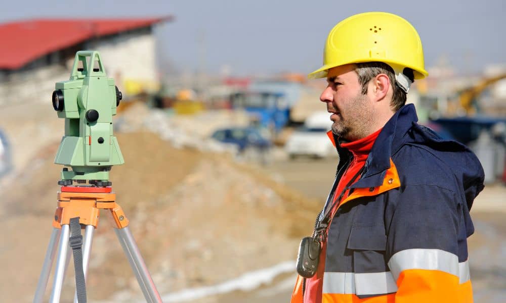
If you’re starting a construction project, a boundary line survey is one of the most important steps to keep your build on track. With mortgage rates dropping and more projects restarting across the city, surveyors are busier than ever. The rush to close deals and begin new builds means timing, access, and accuracy matter more now than before.
Philadelphia’s job sites are tricky. Lots are tight, buildings share walls, and roadwork like the I-95 CAP project makes access harder. That’s why a licensed land surveyor plans carefully before setting foot on site.
Why Timing and Access Matter Right Now
The small drop in mortgage rates has kicked off new closings and builds all over Philadelphia. For surveyors, this means a rush of calls to mark property lines before construction starts. Every builder wants the survey done fast, but road closures and parking rules can slow things down.
Good surveyors plan ahead. They check for lane closures, find safe places for their equipment trucks, and schedule crews during off-hours. In neighborhoods like Fishtown or South Philly, they might start before sunrise or ask nearby owners for space to work.
Step 1: Checking the Records Before Work Starts
Before heading to the site, a surveyor reviews property records. They look at deeds, plats, and right-of-way maps to find out what lines and easements already exist. Using city tools like Atlas and PhilaDox, they confirm if alleys were closed, fences moved, or a neighbor’s building crossed over the line.
This early research helps catch problems before they stop the job. No one wants to find out halfway through construction that part of the foundation sits on someone else’s property.
Step 2: Planning the Site
In a crowded city, surveyors can’t just drive up and unload their tools. Streets are narrow, parking is limited, and job sites are often packed with equipment. That’s why they plan every move ahead of time.
They decide where to place tripods, control points, and markers without blocking traffic. They also check for open trenches or unmarked utilities. Careful planning keeps crews safe and avoids delays that can cost a builder time and money.
Step 3: Setting Control Points and Checking Accuracy
Once on site, the surveyor sets control points — markers that define the edges of the property. Using GPS and total stations, they measure these points and compare them with old records.
In older parts of Philadelphia, this can be tough. Some markers date back a hundred years and might be buried or shifted. The surveyor checks each one and makes sure today’s measurements match the legal records before work starts.
Step 4: Turning Boundaries into Building Layouts
A boundary line survey isn’t just a drawing; it’s the base of your whole construction plan. After confirming the property limits, the surveyor marks layout points for digging, grading, and building.
These stakes guide crews and inspectors. If they’re off even a few inches, it could mean rework or disputes with neighbors. Skilled surveyors double-check each stake so your project stays accurate from the start.
Step 5: Fixing Problems Fast
Even with good planning, issues can appear. Maybe a fence crosses the line or a marker doesn’t match the deed. Instead of stopping work, surveyors solve problems quickly.
They flag the issue, explain it clearly, and coordinate with owners or title companies. Quick fixes keep crews working and prevent expensive delays later.
Step 6: Delivering Clear Results

After fieldwork, the surveyor creates a detailed report. It includes a clear map of the property, any encroachments, and reference points for construction. Many also provide digital files so engineers can use the data in their design plans.
This report guides the rest of the project—from the first inspection to the final as-built check. Everything builds on the surveyor’s measurements.
Philadelphia-Specific Challenges
- Rowhouses and shared walls: Even small shifts can cause big problems.
- Vacated alleys: Some still affect boundaries even if they’re not visible.
- Access issues: The I-95 CAP project means more detours and delivery delays.
- Old utilities: Underground lines often interfere with new layout work.
Surveyors who know the city plan around these problems early, saving time and avoiding stress later.
How You Can Help the Survey Go Smoothly
Before your surveyor arrives, share any plats, title papers, or old surveys you have. Clear the site so they can reach all corners of the property.
If you’re managing a crew, schedule the survey before excavation begins. That way, the layout fits right into your construction plan and avoids downtime.
Final Thoughts
With more projects starting up and roadwork still underway, timing your boundary line surveys is key to keeping your build on schedule.
Licensed land surveyors do more than measure lines—they plan, check, and protect your projects from costly mistakes. When you give them the time and access they need, you get accuracy that keeps inspectors and neighbors happy.
Before you pour concrete or raise walls, confirm your lines. In Philadelphia, precision isn’t just a bonus—it’s what keeps your constructions safe, legal, and on time.