
How LiDAR Mapping Is Changing Accessibility Navigation
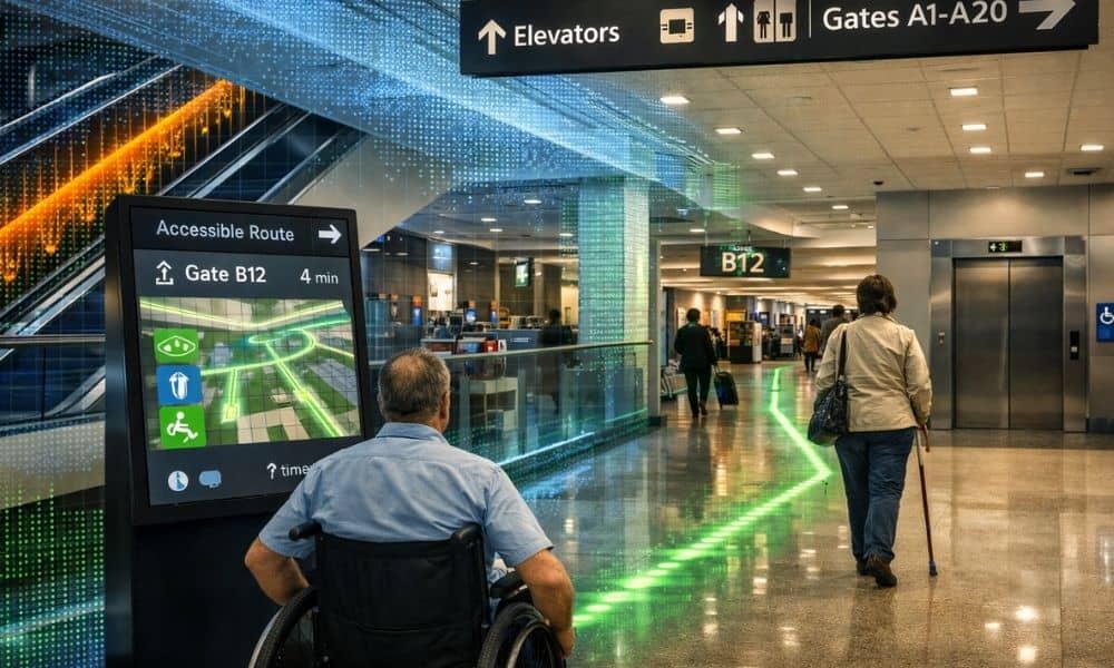
Airports can be confusing places. Long hallways, different floors, moving gates, and crowds make it hard to find your way. For people with mobility or vision challenges, this can be even more stressful. Because of this, airports are starting to use better tools to help travelers move safely and confidently. In Pennsylvania, Lehigh Valley International […]