In Philadelphia, a new kind of property survey is making waves—and not just for homeowners or real estate agents. This city-led effort is changing how officials plan roads, zoning, and development for the next 25 years. While a traditional property survey marks your land boundaries, this latest project is helping reshape how the city grows and serves its people.
But how does this all work? And why should anyone outside of City Hall care?
What Is a Property Survey?
A property survey shows exactly where a piece of land begins and ends. It marks the boundaries, corners, and features of a property. This is important when someone is buying land, building a fence, or applying for permits. In cities like Philadelphia, where rowhomes sit inches apart and every square foot matters, these surveys prevent costly mistakes.
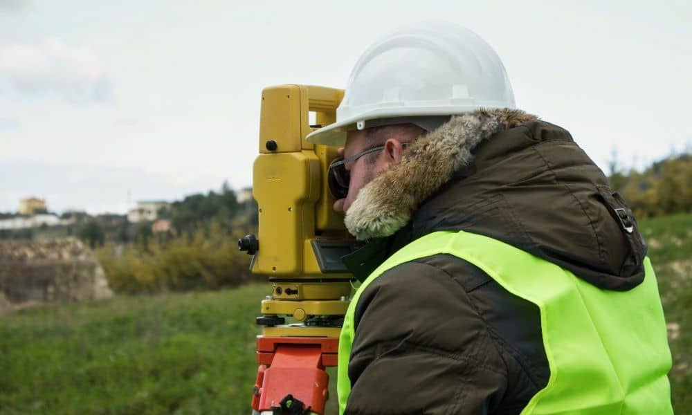
Traditionally, a licensed land surveyor visits a property, takes measurements, checks old records, and creates a map. That map becomes a legal document. Homeowners use it during real estate closings. Builders need it to follow zoning laws. And yes—city planners rely on it too.
But what happens when the city’s own data is out of date or just plain wrong?
Why Philadelphia Is Taking a Fresh Look at Land Use

Philadelphia is working on a major plan for the future: Philadelphia2050. It’s a long-term vision that focuses on housing, transportation, economic development, and more. But to plan the future, the city needs accurate information about what exists today. That’s where this new property survey project comes in.
Right now, city staff are walking the streets—clipboards and tablets in hand—verifying land use for thousands of properties. They’re not just checking boundary lines. They’re looking at how buildings are being used: Is that warehouse now a coworking space? Did someone turn a single-family home into three apartments? Are commercial buildings sitting vacant?
This is called ground-truthing, and it helps the city fix gaps between what the records say and what’s really happening.
Why This Survey Matters for More Than Just City Planners
You might think this only affects government departments or urban planners. But that’s not the case. This new, citywide property survey will soon impact anyone involved in real estate, construction, lending, or land use.
Here’s how.
For Developers and Builders
If you’re planning a new project, you need to know the zoning rules and land use designations. Those rules rely on city data. But what if that data is wrong?
Thanks to this survey, developers will have access to more accurate land use information. This can help avoid costly delays in zoning approval, building permits, or neighborhood pushback.
Instead of learning late in the game that a building was misclassified, you’ll be able to plan with confidence from the start.
For Real Estate Investors
Let’s say you’re buying a mixed-use property and planning to convert the top floors into apartments. If the city records are outdated, you could run into zoning issues or loan problems.
This updated property survey data reduces that risk. It helps lenders, title companies, and buyers trust the numbers—from square footage to building type.
For Zoning Attorneys and Consultants
Land use cases often come down to what’s on file versus what’s real. With this new property survey effort, attorneys and consultants can use cleaner data to support zoning variance requests or appeals. It gives your arguments more weight—and your clients a better chance at approval.
For the City—and Everyone in It
This isn’t just about individual properties. It’s about equity and smart growth. When the city knows where housing is lacking, where buildings sit empty, or where small businesses are popping up, it can plan better.
That means more targeted infrastructure investments, smarter bus routes, and better access to city services. It helps shape the neighborhoods of tomorrow, based on real needs—not outdated records.
What Makes This Different from a Private Property Survey?
You might be wondering: how is this different from the survey I’d order for my home?
Usually, people order a land survey for property boundaries to clearly mark the edges of their property. This helps avoid disputes and makes sure any construction or sale follows local rules.
The city’s survey, however, is different—it covers thousands of properties at once and looks not just at boundaries but also how each piece of land is being used. Even so, having access to this updated city data lets you double-check your private survey. If you spot any differences, it’s easier to fix problems before they slow down your project.
How to Stay Ahead as Philadelphia’s Planning Evolves
If you’re involved in any kind of land development, now’s the time to act. Don’t wait until the city releases its full Philadelphia2050 plan. Get a head start by reviewing your own property data.
Here are some practical moves:
- Order a due diligence survey before buying or subdividing land.
- It helps to work closely with experienced land surveying professionals who understand local zoning and can spot potential issues early.
- Stay updated on changes in zoning maps or overlay districts tied to the survey.
- For complex sites, consider drone surveying or construction staking surveys to make sure your plans align with what’s actually on the ground.
Final Thoughts:
Philadelphia is investing in something simple but powerful: By walking the streets and checking each lot, the city is building a more honest, useful map of its land. And that helps everyone.
Whether you’re building a rowhouse, renovating a commercial property, or financing a mixed-use project, accurate property survey data matters.
Philadelphia2050 may sound like the distant future, but its foundation is being laid today—with every survey, every measurement, and every update.
So, if you haven’t looked at your property survey in a while—or ever—it might be the right time.
Your project’s success could depend on it.