Why Drone Surveying Misses Hidden Underground Risks

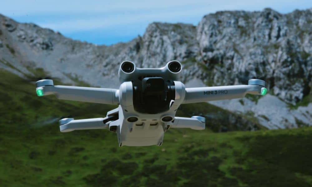
Drone surveying has changed the way we map land. It’s fast, efficient, and gives a bird’s-eye view of everything from construction sites to farmland. In cities like Pittsburgh, where hills, rivers, and neighborhoods create tricky terrain, drones help surveyors capture accurate data without setting foot on the ground. But while drone surveying is great at […]