Reclaiming an old mine site starts with one question. What does the ground look like right now? Years of digging, spoil piles, and settling can leave a site that doesn’t match old mining maps. An elevation survey answers that question with real measurements. It gives engineers and reclamation teams a solid starting point before any grading plan gets drawn.
This matters because reclamation grading has real jobs to do. Water needs a place to go. Slopes need to stay put. Future plans for the land, whether it’s pasture, forest, or a solar array, depend on getting the shape of the ground right the first time. None of that works without accurate elevation data across the site.
Establishing Existing Grades Across Disturbed Mine Land
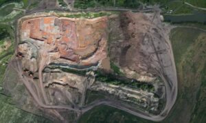
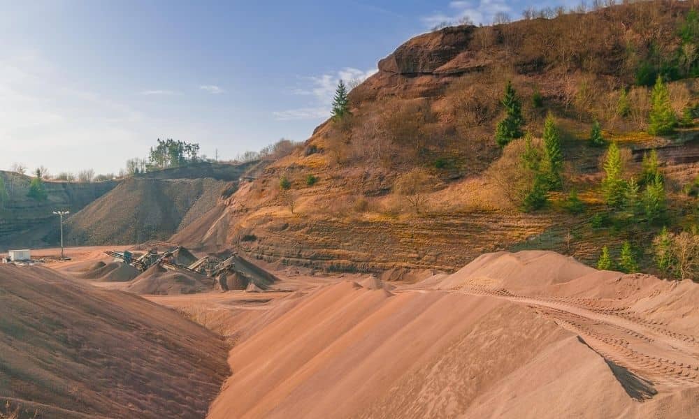
An elevation survey on a former mine site maps the current ground surface in enough detail to support real engineering decisions. That means taking elevation points across highwalls, spoil piles, pit floors, and any areas that were partly reclaimed already. It’s not just a few scattered readings.
Disturbed mine land is rarely one simple shape. One part of the site might still show the original dig line. Another part might sit under loose spoil material that has shifted or settled over time. A surveyor working on a reclamation project needs enough coverage to catch these differences. A design based on old or thin elevation data can end up not matching what’s actually on the ground.
Steep highwalls and loose spoil piles can also raise safety concerns. Drone surveys have become a common way to capture elevation data across large or hard-to-reach mine areas without sending crews onto unstable ground. Whether the work uses GPS gear, a total station, or drones, the goal stays the same. Get an honest picture of where the land sits today.
Connecting Elevation Survey Data to Reclamation Design
Elevation survey data becomes the base map that engineers use to design the finished grade. Without it, a design only exists on paper. It has no real connection to what the site can actually support.
Engineers use the surveyed elevations to check how the reclaimed surface will look once grading wraps up. This includes making sure the planned slopes are possible given the current terrain. It also means checking that final elevations blend into the surrounding land instead of creating sharp edges, and that the design accounts for material already sitting on site instead of assuming a blank slate.
In Pennsylvania, reclaimed land often gets a second life. Some sites turn into farmland. Others get built up for homes or businesses. Some stay open as wildlife habitat. Whatever the future use, the elevation data has to be detailed enough to support that specific goal. A grading plan for crops looks nothing like one built for a construction pad, and the survey behind it needs to reflect that difference.
Calculating Cut and Fill for Reclamation Grading
Cut and fill numbers tell a contractor how much material needs to move to reach the final design grade. These numbers depend entirely on accurate before and after elevation data. The surveyed existing grades mark the starting point. The engineered design marks the target. The gap between the two tells the crew what to cut and what to fill.
On mine reclamation sites, these numbers carry extra weight. Spoil material isn’t always the same from one spot to the next. Some areas may hold better material for final grading than others. Moving that material efficiently matters for both cost and for meeting the reclamation terms tied to the site’s permit. A small error in cut and fill numbers can turn into a lot of extra earthwork across a big site, or a final grade that misses the target elevation.
An elevation survey with strong vertical accuracy gives engineers confidence in these volume numbers. That accuracy matters even more on sites where reclamation happens in phases, since each phase needs to line up correctly with the grades set before it.
Checking Final Contours and Surface Drainage Patterns
Final contours need to do more than hit a target height. They also need to move water the way the design intends. Elevation survey data lets engineers check that reclaimed slopes drain the right way, without low spots that hold water or steep sections that wash out.
This step matters on reclaimed land because the old drainage paths often don’t exist anymore. Digging and grading change how water moves across a site. Reclamation grading has to set up new paths that work with the finished surface. Checking contour lines against the surveyed elevation data helps confirm that swales, ditches, and outlets sit where they need to be.
Pennsylvania’s mix of rain and freeze thaw cycles adds another layer here. A reclaimed slope that holds up fine in a light rain can still wash out during a heavy storm if the grading doesn’t send water away from weak spots. Reviewing drainage against the surveyed contours before construction starts gives the design team a chance to catch problems on paper instead of in the field.
Documenting As-Graded Conditions on Reclaimed Land
Once grading work wraps up, a follow-up elevation survey records the as-graded conditions of the site. This confirms whether the finished grade matches the approved design, and it creates a record of the site’s shape at the end of construction.
This kind of documentation matters for a few reasons. It can support permit closeout, since regulators often need proof that the site was graded as planned. It also gives the property owner or future user a clear record of the finished topography, which can help if more site work or development happens down the road.
For sites with long-term monitoring requirements, this as-graded survey works as a baseline. Future elevation surveys can be compared back to it to spot settling or erosion early, before it turns into a bigger drainage or stability problem.
Getting reclamation grading right on a former mine site depends on accurate elevation data at every stage. That runs from the first survey of existing conditions all the way through the final as-graded record. If you’re working on a reclamation project and want to know what your site’s elevation data can support, a licensed local land surveyor can walk through what the site needs and how that fits your project timeline.