land surveying
Why Urban Redevelopment Drives Construction Surveys
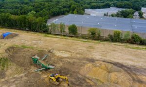
Pittsburgh’s Strip District is changing fast. New apartments, shops, and mixed-use buildings are moving from plans into real construction. Because of this growth, construction surveys