How Drone Surveying Is Transforming Slope Stability Mapping
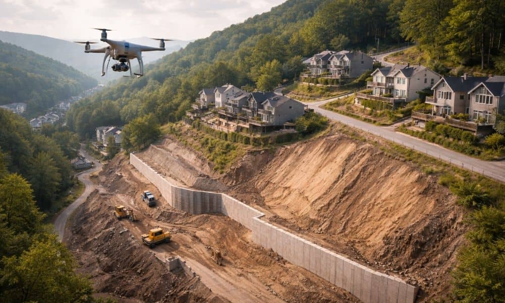
Western Pennsylvania is beautiful, but it is not flat. From the hills of Pittsburgh to the rolling valleys outside the city, steep slopes shape how we live and build. Homes sit on hillsides. Roads cut through embankments. Stormwater rushes downhill during heavy rain. Because of this terrain, slope stability is not just an engineering term […]