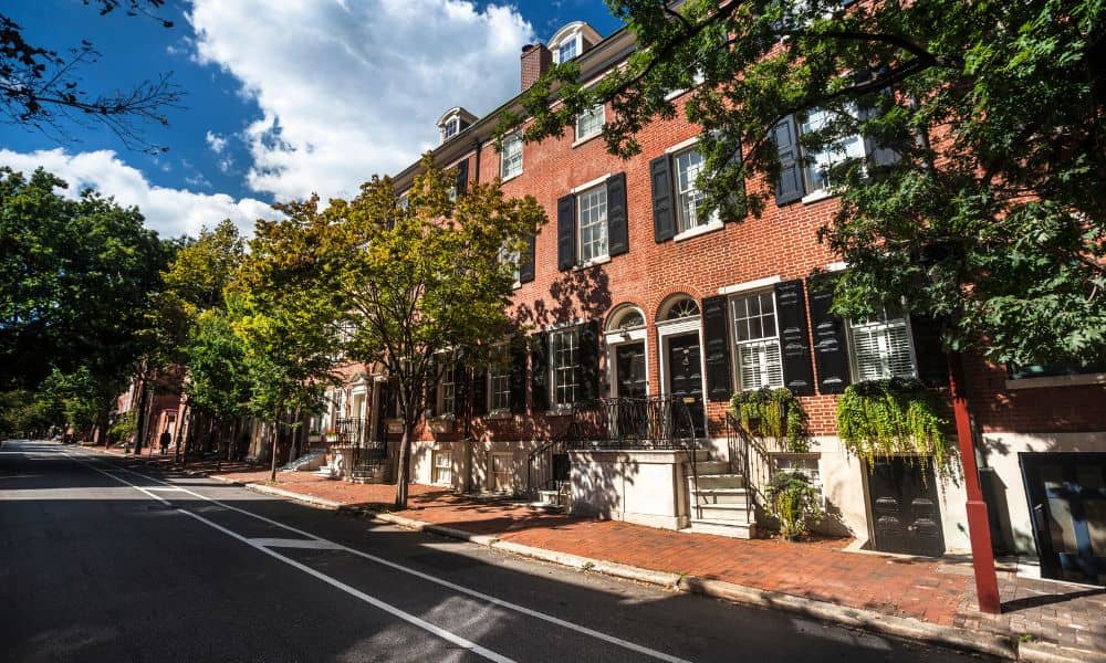
If you’ve just moved into your new Philadelphia home, getting a boundary survey should be one of your first priorities. Without it, you might soon notice something unusual. For example, your neighbor’s fence could feel too close, or your walkway might seem narrower than expected. What looks like a small quirk could actually be a property line problem. As a result, this can lead to legal disputes, costly fixes, or even the need to move structures.
Property lines in Philadelphia are not always obvious. In many cases, fences, tree lines, or sidewalks do not match the true legal boundaries. That’s why a professional boundary survey is so important — it clearly shows where your property begins and ends.
A Quick Look Back at Boundary Surveys in Philadelphia and Beyond
Interestingly, boundary surveys have a long history in Pennsylvania. One of the most famous examples is the Mason-Dixon Line, drawn in the 1760s to settle a colonial border dispute between Pennsylvania and Maryland.
In earlier times, surveyors used chains, compasses, and even the stars to measure land. Many of their markers — such as stone monuments, iron rods, and pins — are still in place today. Modern surveyors, however, combine these historic records with advanced tools to protect your rights as a property owner.
Why Small Disputes Can Cause Big Problems in Philadelphia
In older Philadelphia neighborhoods — like Fishtown, Queen Village, and Fairmount — homes sit close together. Because of this, even a few inches can make a big difference.
Disputes often arise when someone builds a fence, installs a driveway, or sells a property. Sometimes, these issues only come to light during construction or when a buyer requests title insurance.
With that in mind, a boundary survey can:
- Prevent disputes before they happen
- Reveal hidden issues before they turn into legal battles
- Support building permits, zoning approvals, and real estate closings
Why You Can’t Rely on Google Maps in Philadelphia
While online maps are great for finding directions, they are not accurate enough for property boundaries — especially in tightly packed Philadelphia blocks. Tools like Google Maps or county GIS sites may look official, but they can be off by several feet — or even yards.
The main reasons include:
- Encroachments, like fences or sheds, are not shown
- Lines are approximate, not legal boundaries
- Updates for recent changes or surveys may be missing
For this reason, only a licensed surveyor can give you the precise, legal information you need.
What a Boundary Survey Actually Shows
A professional boundary survey is more than just a line drawing. It also provides a legal record of your property’s exact limits. During the process, you may receive:
- Clearly marked property corners
- A detailed survey map and written report
- Information on encroachments, easements, or discrepancies
- A reliable reference for building, selling, or resolving disputes
Why Inches Matter in Tight Philadelphia Spaces
In dense areas such as South Philadelphia, Northern Liberties, or Manayunk, properties can be just a few feet apart. Consequently, it’s not uncommon for shared fences or driveways to cross into a neighbor’s land.
Real Case:
One Philadelphia homeowner discovered their walkway extended just 10 square feet onto the neighbor’s lot. Online maps didn’t reveal the problem — however, a boundary survey did.

That survey:
- Confirmed the encroachment
- Helped both sides reach an agreement
- Prevented a court case by providing professional documentation
Top Reasons to Get a Boundary Survey in Philadelphia
Many people wait until a dispute happens to order a survey, but in reality, it’s smarter to be proactive. Local homeowners often rely on boundary survey services to prevent costly mistakes before they start.
You should consider one if you are:
- Building a fence, shed, deck, or pool in Philadelphia
- Cutting down trees near a property line
- Buying or selling a home in the city
- Subdividing land or settling an estate
- Avoiding or resolving neighbor disagreements
Spotting a Boundary Marker — Easier Said Than Done
Some property corners are marked with rebar, pins, stones, or small concrete monuments. However, these markers can be buried, moved, or missing over time. Moreover, natural features like trees or fences can be misleading.
Because of this, licensed surveyors in Philadelphia rely on legal documents, historic data, and advanced tools like GPS and total stations to locate or install accurate boundary markers.
What to Expect During a Boundary Survey
When you hire a licensed Philadelphia surveyor, here’s what typically happens:
- Research – Your deed, maps, and city records are reviewed.
- Fieldwork – The property is measured and boundaries located.
- Marking – Corners and lines are marked clearly.
- Survey Map – A detailed, official drawing is provided for your records.
Ultimately, this document can be used for court cases, building permits, or property sales.
Final Thoughts
In a city like Philadelphia, where every square foot counts, a boundary survey offers clarity and peace of mind. Whether you’re purchasing, selling, planning improvements, or simply curious about your property, having clear, legal boundaries helps prevent misunderstandings and costly disputes. It’s a straightforward step that can protect both your plans and your peace of mind.