
Elevation Survey: Protect Your Home from Hidden Flood Risks
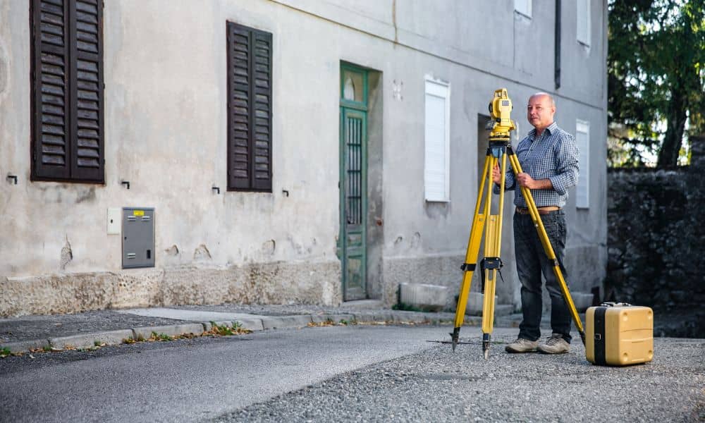
Philadelphia is no stranger to heavy rain. When storms roll in from the coast, the city’s older streets and low-lying neighborhoods often flood fast. For homeowners, the damage can be costly and stressful. This is where an elevation survey comes in. More than just numbers on paper, it gives you a clear picture of how […]
Why Drone Surveying Misses Hidden Underground Risks

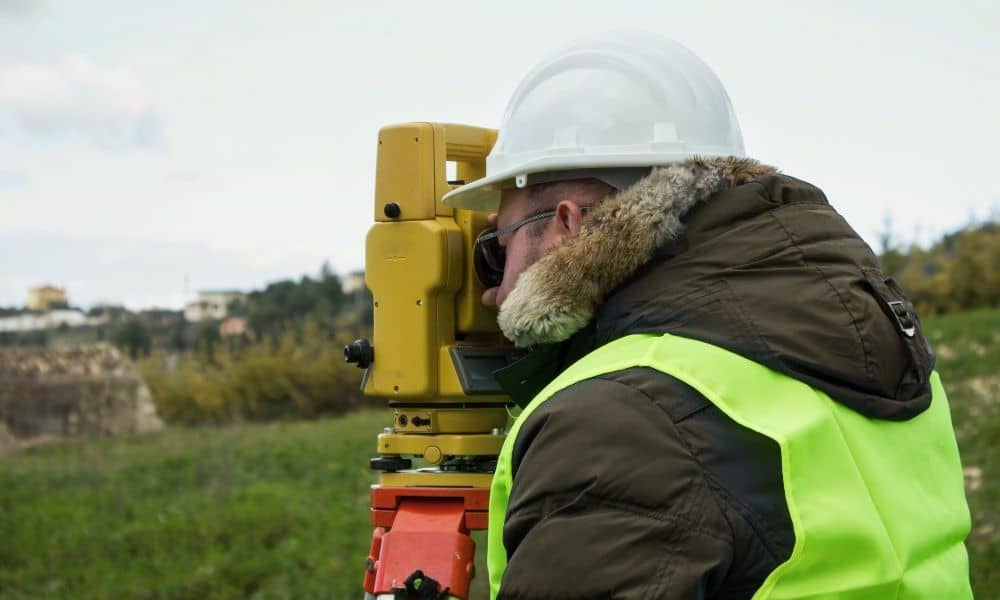
Drone surveying has changed the way we map land. It’s fast, efficient, and gives a bird’s-eye view of everything from construction sites to farmland. In cities like Pittsburgh, where hills, rivers, and neighborhoods create tricky terrain, drones help surveyors capture accurate data without setting foot on the ground. But while drone surveying is great at […]
How the Latest Property Survey Boosts Planning Accuracy
In Philadelphia, a new kind of property survey is making waves—and not just for homeowners or real estate agents. This city-led effort is changing how officials plan roads, zoning, and development for the next 25 years. While a traditional property survey marks your land boundaries, this latest project is helping reshape how the city grows […]