
LiDAR Mapping Rules May Shift After Drone Security Scares
LiDAR mapping is changing how land surveyors collect data. It sends out laser pulses from a drone to make detailed 3D pictures of the land, buildings, and trees. It’s quick, accurate, and saves time and money. But when a big drone security scare happens anywhere in the world, local drone rules can change—and that can […]
Why ALTA Land Title Survey Work Is in High Demand

Philadelphia is changing how it looks at land and property. As part of the Philadelphia 2050 Plan, the city is updating maps and reviewing how every piece of land is used — from South Philly to Germantown. This major project will make it easier to plan for housing, business, and transportation. But the update isn’t […]
Update Your Elevation Certificate After Floods
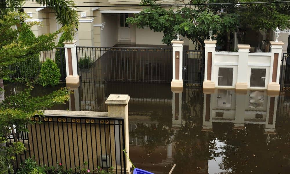
When rain hits Pittsburgh, it doesn’t just soak the streets—it reshapes them. Last week’s storm flooded low-lying neighborhoods, swelled the rivers, and left homeowners wondering if their properties are still as safe as their insurance policies say. If your basement flooded or your yard now pools water where it never did before, it might be […]